Dr. Sharyn Cullis
Dr Sharyn Cullis was a passionate environmentalist and educator who lived in Oatley from 1985 until her passing in 2022. A dedicated volunteer within the Georges River LGA, she made significant contributions to Steamwatch and Riverhealth monitoring programs.
Her commitment to environmental advocacy extended to her role as a community representative on the Georges River Combined Councils Committee (now Riverkeeper) where she earned a place on its Honour Board.
As an active member of the Oatley Flora and Fauna Conservation Society, Dr Cullis strongly opposed developments that threatened the local environment, including a proposed phone tower and café in Oatley Park, and increased housing density in the Foreshore Scenic Protection Area.

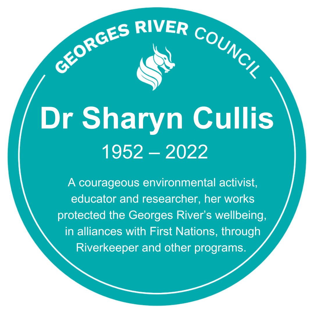
The Historical Marker reads:
Dr Sharyn Cullis 1952 – 2022.
A courageous environmental activist, educator and researcher, her works protected the Georges River’s wellbeing, in alliances with First Nations, through Riverkeeper and other programs.
Location of Historical Marker:
Webster's Lookout, Christensen Circuit.
Oatley Park, Oatley.
Location on Google Maps.
White Gates Farm and Stud Piggery
White Gates Farm and Stud Piggery was established in Peakhurst by retired policeman John Lambert and his wife Christina, for whom Lambert Reserve is named. Known for its distinctive white entrance gates, the farm land was bounded by today’s Isaac Street, Pindari Road, Whitegates Avenue, and Lorraine Street.
The homestead stood near present-day 16–20 Whitegates Avenue. A busy stud piggery, it housed 35 to 40 sows and also sourced stall pigs from markets near the Homebush Abattoir. The farm is indicative of the agricultural history of the area in and around Peakhurst.
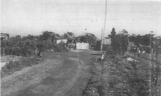

The Historical Marker reads:
White Gates Farm and Stud Piggery 1929-1967.
Named for its distinctive white gates, the Lambert family farm raised pigs for breeding. The farm is indicative of the area’s agricultural heritage.
Location of Historical Marker:
Lambert Reserve.
Whitegates Avenue, Peakhurst Heights.
Location on Google Maps.
St. George Cycling Club
The St George Cycling Club, founded in 1921, was foundational in shaping Hurstville Oval and Velodrome, requesting the construction of a cycle path in 1925 and contributing to the costs of works. The club has an unmatched record of representation at every Olympic and Commonwealth Games since 1956. Early training grounds included Hurstville Oval, used by Olympic champion Dunc Gray, and Oatley Park, a road racing venue since 1950.
The club produced champions like Frank Brazier, Gary Sutton, Kevin Nichols, and Martin Vinnicombe, with continued success through to the 2019 Track World Championships. Influential figures such as Charlie Manins shaped its legacy. Celebrating its centenary in 2020, the club remains a cornerstone of Australian cycling history and achievement.

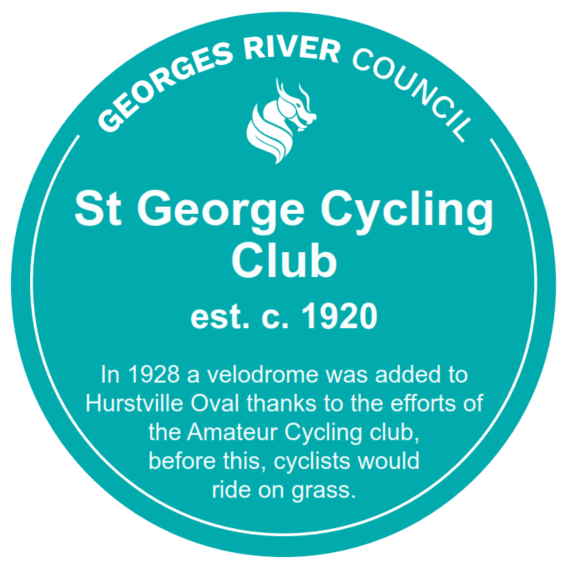
The Historical Marker reads:
St George Cycling Club est. c. 1920.
In 1928 a velodrome was added to Hurstville Oval thanks to the efforts of the Amateur Cycling club, before this, cyclists would ride on grass.
Location of Historical Marker:
Hurstville Oval, Hurstville.
Location on Google Maps.
Restored Markers
Royal Australian Engineers
During World War II, Oatley Park served as a temporary home for Australian Army engineers. From February 1942 to April 1943, the 26th and 12th Field Companies of the Royal Australian Engineers (RAE) were stationed in the park. The soldiers were warmly welcomed by the Oatley community, who hosted dances, church gatherings, and even helped with laundry.
A concrete map of Tasmania was created by the 12th field company, which was formed originally in Hobart in 1942. The inscription has faded and worn down over time, but the map can still be found in Oatley Park if you look closely.
While the original Historical Marker plaque still exists, it will be moved closer to the original camp location to better preserve and share this rich history.
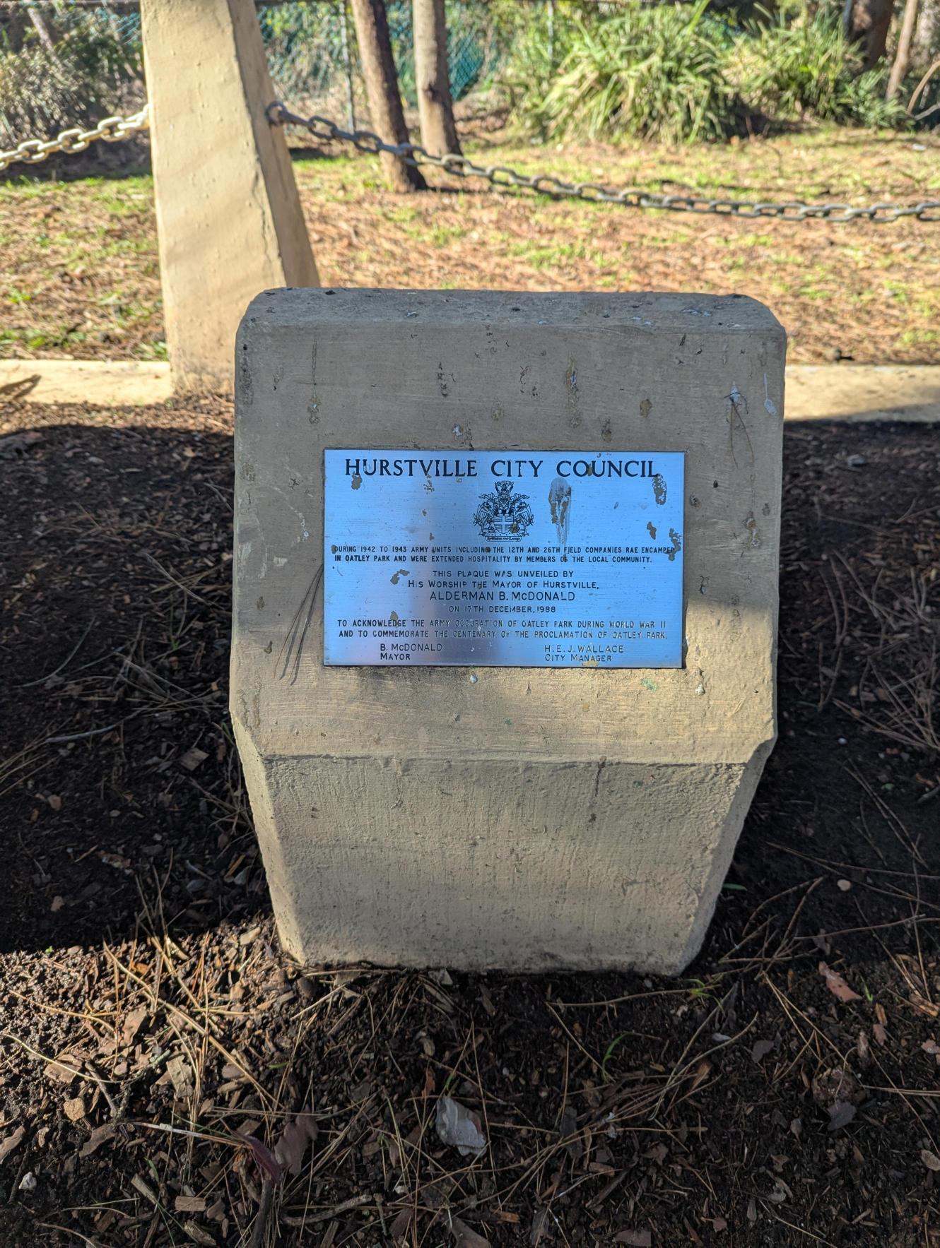
The Historical Marker reads:
Hurstville City Council.
During 1942 to 1943 Army units including the 12th and 26th Field Companies RAE encamped in Oatley Park and were extended hospitality by members of the local community. This plaque was unveiled by His Worship the Mayor of Hurstville, Alderman B McDonald on 17th December 1985 to acknowledge the Army occupation of Oatley Park during World War II and to commemorate the centenary of the proclamation of Oatley Park. B McDonald, Mayor, H E J Wallace, City Manager.
Location of Historical Marker:
Oatley Park Bush Playground, Oatley.
Location on Google Maps.
Penshurst Train Station
The original Penshurst Station, comprising two side platforms, was built in 1886 on the single railway line between Hurstville and Sutherland. In 1905, as part of the double track deviation of the Illawarra Line, the Penshurst Railway Station was relocated southward from the original platform site. At this time, a weatherboard station building and brick island platform were constructed, the latter being lengthened in July 1912. As part of the 1905 works, the level crossing at Penshurst Station was replaced by an overbridge.
The existing marker will undergo conservation to maintain the significance of this site.

The Historical Marker reads:
Historical Marker 46.
Penshurst Railway Station.
The railway line passed through Penshurst in 1884, but the station was not opened until 1890. There were level crossing gates at Penshurst street until the overhead bridge was built in 1905.
Hurstville Municipal Council – Hurstville Historical Society
Location of Historical Marker:
Penshurst Train Station, Penshurst
Location on Google Maps.
Thank you for your feedback.